ENVIR 495C: Landscape Change in the Pacific Northwest
Tuesday, July 1, 2014
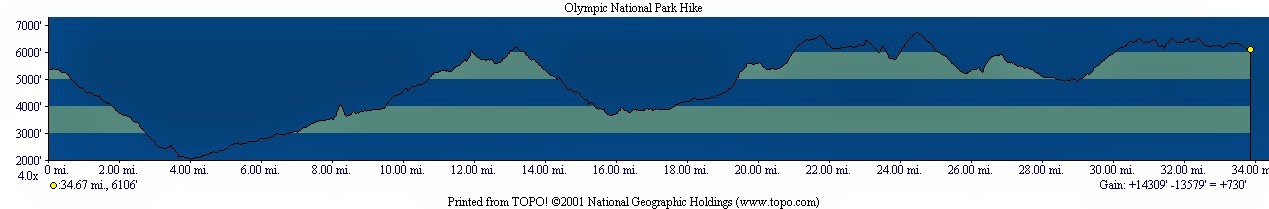
Route Map and Elevational Profile
Below is a topo map of our hiking route. The red line traces our route, starting at Deer Park and ending at Obstruction Point. This route is in the northeast corner of
Olympic National Park
.
No comments:
Post a Comment
Newer Post
Home
Subscribe to:
Post Comments (Atom)

No comments:
Post a Comment